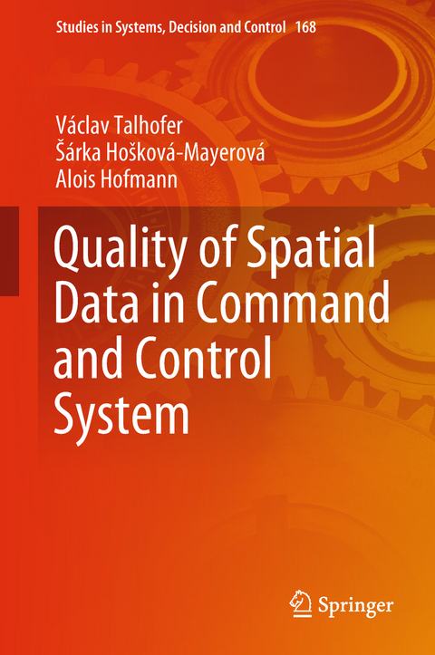
Quality of Spatial Data in Command and Control System
Springer International Publishing (Verlag)
978-3-319-94561-3 (ISBN)
This monograph aims to familiarize readers with the problem of evaluating the quality and reliability of digital geographic information in terms of their use. It identifies the key requirements for the functionality of this information and describes the system of evaluating its quality and reliability. The whole text is supplemented by examples that document the impact of different quality of the information on the entire decision-making process in command and control systems at the rescue and military levels.
The monograph is primarily intended for professionals who are responsible for the implementation of digital geographic information in command and control systems, or for those who use them in their work. For this reason, particular attention is paid especially to the user aspects of the digital geographic information used.
Václav Talhofer is Full Professor of Cartography and Geoinformatics at the University of Defense in Brno, Czech Republic.
Sárka Hosková-Mayerová is Associate Professor of Mathematics at the University of Defense in Brno, Czech Republic.
Alois Hofmann is a teacher and scientist of Cartography and Geoinformatics at the University of Defense in Brno, Czech Republic.
All authors contributing to this book have been extensively studying the methods and procedures for the use of digital geographic information, especially in the environment of the Czech Armed Forces.
Václav Talhofer is a Full Professor of Cartography and Geoinformatics at the University of Defense in Brno, Czech Republic. Sárka Hosková-Mayerová is an Associate Professor of Mathematics at the University of Defense in Brno, Czech Republic. Alois Hofmann is a teacher and scientist working in the field of cartography and geoinformatics at the University of Defense in Brno, Czech Republic. All authors contributing to this book have extensively studied methods and procedures for the use of digital geographic information, especially in the environment of the Czech Armed Forces.
Geographic support of decision-making processes.- Quality and reliability of digital geographic data and information.- Multi-criterial analysis of geographic spatial conditions.- The influence of quality and reliability of geospatial data on the decision-making processes.- The use of MCA in decision-making processes on an example of terrain passability model.
| Erscheinungsdatum | 11.08.2018 |
|---|---|
| Reihe/Serie | Studies in Systems, Decision and Control |
| Zusatzinfo | XIV, 192 p. 99 illus., 84 illus. in color. |
| Verlagsort | Cham |
| Sprache | englisch |
| Maße | 155 x 235 mm |
| Gewicht | 437 g |
| Themenwelt | Informatik ► Theorie / Studium ► Künstliche Intelligenz / Robotik |
| Technik | |
| Schlagworte | Decision Processes • geographic data • Multi Criteria Analysis of Data • Quality of Spatial data • Reliability of Spatial Data • Use of Real Data |
| ISBN-10 | 3-319-94561-0 / 3319945610 |
| ISBN-13 | 978-3-319-94561-3 / 9783319945613 |
| Zustand | Neuware |
| Haben Sie eine Frage zum Produkt? |
aus dem Bereich


