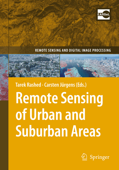
Remote Sensing of Urban and Suburban Areas
Springer-Verlag New York Inc.
978-1-4020-4371-0 (ISBN)
Urban and Suburban Areas as a Research Topic for Remote Sensing.- Urban and Suburban Areas as a Research Topic for Remote Sensing.- Theoretical Aspects.- The Structure and Form of Urban Settlements.- Defining Urban Areas.- The Spectral Dimension in Urban Remote Sensing.- The Spatial and Temporal Nature of Urban Objects.- The V-I-S Model: Quantifying the Urban Environment.- Techniques and Applications.- A Survey of the Evolution of Remote Sensing Imaging Systems and Urban Remote Sensing Applications.- Classification of Urban Areas: Inferring Land Use from the Interpretation of Land Cover.- Processing Techniques for Hyperspectral Data.- Segmentation and Object-Based Image Analysis.- Data Fusion in Remote Sensing of Urban and Suburban Areas.- Characterization and Monitoring of Urban/Peri-urban Ecological Function and Landscape Structure Using Satellite Data.- Remote Sensing of Desert Cities in Developing Countries.- Remote Sensing of Urban Environmental Conditions.- Remote Sensing of Urban Land Use Change in Developing Countries: An Example from Büyükçekmece, Istanbul, Turkey.- Using Satellite Images in Policing Urban Environments.- Using DMSP OLS Imagery to Characterize Urban Populations in Developed and Developing Countries.
| Erscheint lt. Verlag | 16.6.2010 |
|---|---|
| Reihe/Serie | Remote Sensing and Digital Image Processing ; 10 |
| Zusatzinfo | XII, 352 p. |
| Verlagsort | New York, NY |
| Sprache | englisch |
| Maße | 155 x 235 mm |
| Themenwelt | Naturwissenschaften ► Geowissenschaften ► Geografie / Kartografie |
| Naturwissenschaften ► Geowissenschaften ► Geologie | |
| ISBN-10 | 1-4020-4371-6 / 1402043716 |
| ISBN-13 | 978-1-4020-4371-0 / 9781402043710 |
| Zustand | Neuware |
| Haben Sie eine Frage zum Produkt? |
aus dem Bereich


