


Kerry
Seiten
2015
|
5th edition
Ordnance Survey Ireland (Verlag)
978-1-908852-49-6 (ISBN)
Ordnance Survey Ireland (Verlag)
978-1-908852-49-6 (ISBN)
Discovery maps are produced at a scale of 1:50,000 (or 2cm on paper equals 1 kilometre on the ground). Each Discovery Sheet covers an area of 40km x 30km surface area (with the exception of several portrait-format sheets, which are 42km x 32km). There are 93 sheets in the series; 75 are produced by Ordnance Survey Ireland, and 18 by Ordnance Survey Northern Ireland. The maps produced by Ordnance Survey Northern Ireland are called the Discoverer Series.
This is a comprehensive series of feature-rich maps which show detailed landscape information, like rivers, lakes, contours and many townland names. The Discovery Series is designed primarily for tourist and leisure activities; these maps are the preferred choice for hill walkers and those in pursuit of the great outdoors. It is also an ideal reference for location-focussed business use, in pocket-friendly folded form or as a wall-mounted reference.
This is a comprehensive series of feature-rich maps which show detailed landscape information, like rivers, lakes, contours and many townland names. The Discovery Series is designed primarily for tourist and leisure activities; these maps are the preferred choice for hill walkers and those in pursuit of the great outdoors. It is also an ideal reference for location-focussed business use, in pocket-friendly folded form or as a wall-mounted reference.
| Reihe/Serie | Discovery S. ; 78 |
|---|---|
| Verlagsort | Dublin |
| Sprache | englisch |
| Themenwelt | Reisen ► Karten / Stadtpläne / Atlanten ► Europa |
| ISBN-10 | 1-908852-49-6 / 1908852496 |
| ISBN-13 | 978-1-908852-49-6 / 9781908852496 |
| Zustand | Neuware |
| Haben Sie eine Frage zum Produkt? |
Mehr entdecken
aus dem Bereich
aus dem Bereich
Karte (gefalzt) (2023)
Freytag-Berndt und ARTARIA (Verlag)
12,90 €
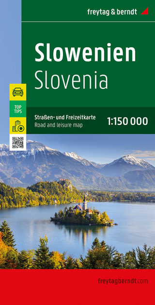
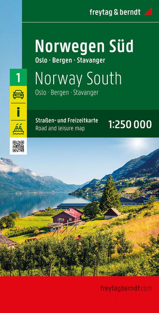
Straßen- und Freizeitkarte 1:250.000
Karte (gefalzt) (2023)
Freytag-Berndt und ARTARIA (Verlag)
12,90 €
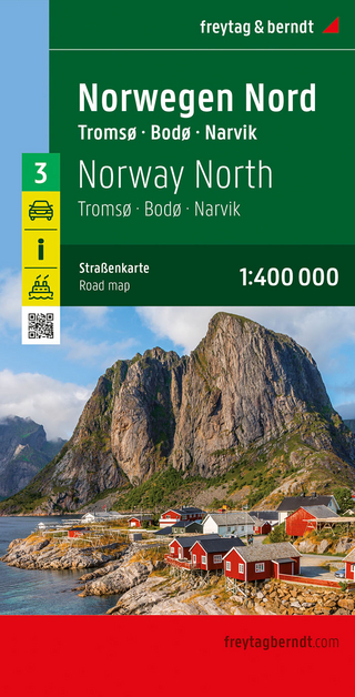
Narvik
Karte (gefalzt) (2023)
Freytag-Berndt und ARTARIA (Verlag)
12,90 €