


Map of Ireland Handy
Ideal for Route Planning
Seiten
2020
Collins (Verlag)
978-0-00-836998-9 (ISBN)
Collins (Verlag)
978-0-00-836998-9 (ISBN)
- Titel erscheint in neuer Auflage
- Artikel merken
Zu diesem Artikel existiert eine Nachauflage

Explore new places with this authoritative map of Ireland.
Easy-to-use route-planning map covering the whole of Ireland opens almost like a book. It has the convenience of an atlas with all the benefits of a fold out map, and features clear, full-colour road maps at 10 miles to 1 inch plus city centre plans of Belfast and Dublin.
The map is laminated on both sides making it very hard wearing and comes in a plastic wallet.
Features include:
• Clear detailed mapping with attractive layer colours showing height
• Places of tourist interest and Tourist Information Centres shown
• Distance chart on the back of the map in both miles and kilometres
• Distances shown on the roads to aid journey planning
Explore the world through accurate and up-to-date mapping.
| Erscheint lt. Verlag | 6.2.2020 |
|---|---|
| Reihe/Serie | Collins Road Atlas |
| Verlagsort | London |
| Sprache | englisch |
| Maße | 130 x 230 mm |
| Gewicht | 60 g |
| Themenwelt | Reisen ► Karten / Stadtpläne / Atlanten ► Europa |
| Naturwissenschaften ► Geowissenschaften ► Allgemeines / Lexika | |
| Naturwissenschaften ► Geowissenschaften ► Geografie / Kartografie | |
| ISBN-10 | 0-00-836998-4 / 0008369984 |
| ISBN-13 | 978-0-00-836998-9 / 9780008369989 |
| Zustand | Neuware |
| Haben Sie eine Frage zum Produkt? |
Mehr entdecken
aus dem Bereich

aus dem Bereich
Karte (gefalzt) (2023)
Freytag-Berndt und ARTARIA (Verlag)
12,90 €
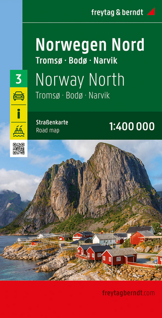
Narvik
Karte (gefalzt) (2023)
Freytag-Berndt und ARTARIA (Verlag)
12,90 €