


![Grand Canyon Day Hikes and National Park [Map Pack Bundle] - National Geographic Maps](/media/117031954 "Bild vergrößern")
Grand Canyon Day Hikes and National Park [Map Pack Bundle]
Seiten
2024
|
2023rd ed.
National Geographic Maps (Verlag)
978-1-56695-913-1 (ISBN)
National Geographic Maps (Verlag)
978-1-56695-913-1 (ISBN)
Waterproof Tear-Resistant Topographic Maps.
Grand Canyon is one of the most spectacular examples of erosion anywhere in the world - unmatched in the incomparable vistas it offers visitors from the rim. This two title Map Pack Bundle helps explorers of all levels see everything this astounding park has to offer. The map pack includes an overview map that shows the most visited sections of the North and South Rims as well as a Day Hikes map guide. With this combination of maps visitors can feel comfortable planning a trip to a park with options for everyone, from multi-day backpack trips to the 3.0 mile North Rim Lookout Tower Trail.
The Grand Canyon National Park Day Hikes Topographic Map Guide includes seventeen diverse hikes for all hiking enthusiasts, the hikes range in difficulty and distance to help hikers select the best trail for their timing, abilities, and location within the parks. Each hike has a detailed map, a trail profile visualizing the changes in elevation, and a short summary of the interesting features encountered along the trip.
The Grand Canyon Day Hikes and National Park Map Pack includes:
- Map 261 :: Grand Canyon, North and South Rims
- Map 1711 :: Grand Canyon Day Hikes
Every Trails Illustrated map is printed on "Backcountry Tough" waterproof, tear-resistant paper. A full UTM grid is printed on the map to aid with GPS navigation.
Founded in 1915 as the Cartographic Group, the first division of National Geographic, National Geographic Maps has been responsible for illustrating the world around us through the art and science of mapmaking.Today, National Geographic Maps continues this mission by creating the world's best wall maps, recreation maps, atlases, and globes which inspire people to care about and explore their world.
| Erscheint lt. Verlag | 1.5.2024 |
|---|---|
| Reihe/Serie | National Geographic Trails Illustrated Map |
| Zusatzinfo | 50 Maps |
| Verlagsort | Evergreen |
| Sprache | englisch |
| Maße | 108 x 235 mm |
| Gewicht | 168 g |
| Themenwelt | Sachbuch/Ratgeber ► Sport |
| Reisen ► Karten / Stadtpläne / Atlanten ► Nord- / Mittelamerika | |
| Reiseführer ► Nord- / Mittelamerika ► USA | |
| ISBN-10 | 1-56695-913-6 / 1566959136 |
| ISBN-13 | 978-1-56695-913-1 / 9781566959131 |
| Zustand | Neuware |
| Haben Sie eine Frage zum Produkt? |
Mehr entdecken
aus dem Bereich

aus dem Bereich
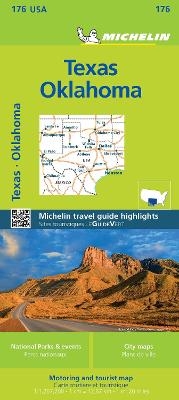
Map
Karte (gefalzt) (2024)
Michelin Editions des Voyages (Verlag)
19,95 €
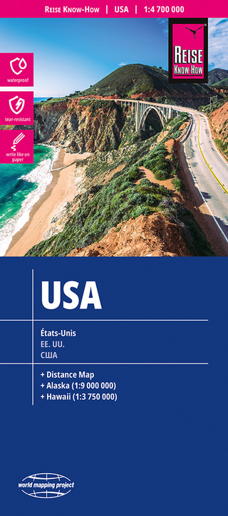
reiß- und wasserfest (world mapping project)
Karte (gefalzt) (2024)
Reise Know-How (Verlag)
12,00 €