


An Historical Map of Kingston Upon Hull
2017
The Historic Towns Trust (Verlag)
978-0-9934698-2-4 (ISBN)
The Historic Towns Trust (Verlag)
978-0-9934698-2-4 (ISBN)
Map reverse carries an illustrated gazetteer of sites of interest: approx. 6,600 wordsMap cover carries inside a brief history of Hull: 1,300 words. Illustrations: coloured engravings and early views of buildings, monuments and street scenesA full colour map, based on an Ordnance Survey map of 1928, with buildings and sites of interest picked out. Few cities have experienced Hull's uninterrupted position as one of Britain's leading centres of population and economic activity over nine centuries. The variety and richness of its architecture are too often overlooked. The map shows the main medieval and post-medieval buildings in this remarkable and interesting city, the second-most historic city of Yorkshire. The map's cover has a short introduction to the city's history, and on the reverse an illustrated and comprehensive gazetteer of Hull's main buildings and sites of interest, from medieval monasteries to cinemas and theatres, and the huge fortified citadel.
David Neave is an architectural and local historian at the University of Hull. Susan Neave is also a social and architectural historian, based in East Yorkshire. Among their publications is the Pevsner Architectural Guide to Hull.
| Erscheint lt. Verlag | 5.11.2017 |
|---|---|
| Reihe/Serie | Historic City & Town Maps |
| Zusatzinfo | Full colour mapping |
| Sprache | englisch |
| Maße | 127 x 206 mm |
| Themenwelt | Reisen ► Karten / Stadtpläne / Atlanten ► Europa |
| Geisteswissenschaften ► Geschichte ► Hilfswissenschaften | |
| ISBN-10 | 0-9934698-2-5 / 0993469825 |
| ISBN-13 | 978-0-9934698-2-4 / 9780993469824 |
| Zustand | Neuware |
| Haben Sie eine Frage zum Produkt? |
Mehr entdecken
aus dem Bereich
aus dem Bereich
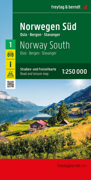
Straßen- und Freizeitkarte 1:250.000
Karte (gefalzt) (2023)
Freytag-Berndt und ARTARIA (Verlag)
12,90 €
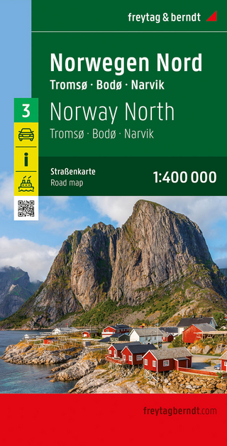
Narvik
Karte (gefalzt) (2023)
Freytag-Berndt und ARTARIA (Verlag)
12,90 €
Karte (gefalzt) (2023)
Freytag-Berndt und ARTARIA (Verlag)
12,90 €