


Bristol A-Z Premier Map
Seiten
2015
|
New Tenth edition
Geographers' A-Z Map Co Ltd (Verlag)
978-1-78257-075-2 (ISBN)
Geographers' A-Z Map Co Ltd (Verlag)
978-1-78257-075-2 (ISBN)
- Titel ist leider vergriffen;
keine Neuauflage - Artikel merken
This A-Z Premier Map of Bristol is a full colour, single-sided, fold-out street map of Bristol. The index booklet, which is attached to the cover, lists streets, selected flats, walkways and places of interest, place, area and station names. Also included is a separate index of hospitals, NHS Walk-in Centres and hospices covered by this map.
This A-Z Premier Map of Bristol is a full colour, single-sided street map of Bristol covering an area extending to:
•Avonmouth
•Cribbs Causeway
•Winterbourne Down
•Emerson's Green
•Mangotsfield
•Oldland
•Keynsham
•Whitchurch
•Withywood
•Long Ashton
•Easton-in-Gordano
There is also a large scale Bristol city centre map.
Postcode districts, one-way streets and safety camera locations with speed limits are featured on the mapping.
The index booklet, which is attached to the cover, lists streets, selected flats, walkways and places of interest, place, area and station names. Also included is a separate index of hospitals, NHS Walk-in Centres and hospices covered by this map.
Britain’s leading street map publisher providing cartographic services, digital data products and paper mapping publications (including Street Atlases, Visitors Guides, Great Britain Road Atlases and The Adventure Atlas).
| Sprache | englisch |
|---|---|
| Maße | 154 x 235 mm |
| Gewicht | 180 g |
| Themenwelt | Sachbuch/Ratgeber |
| Reisen ► Karten / Stadtpläne / Atlanten ► Europa | |
| Schulbuch / Wörterbuch ► Lexikon / Chroniken | |
| Naturwissenschaften ► Geowissenschaften ► Geografie / Kartografie | |
| ISBN-10 | 1-78257-075-6 / 1782570756 |
| ISBN-13 | 978-1-78257-075-2 / 9781782570752 |
| Zustand | Neuware |
| Haben Sie eine Frage zum Produkt? |
Mehr entdecken
aus dem Bereich

aus dem Bereich
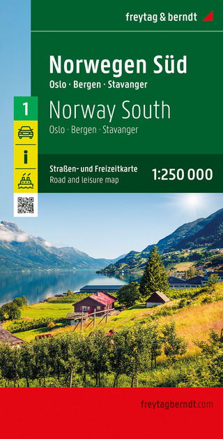
Straßen- und Freizeitkarte 1:250.000
Karte (gefalzt) (2023)
Freytag-Berndt und ARTARIA (Verlag)
12,90 €
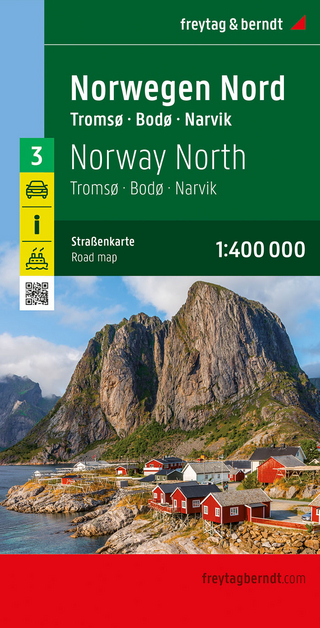
Narvik
Karte (gefalzt) (2023)
Freytag-Berndt und ARTARIA (Verlag)
12,90 €