


Chester Handy Map
Seiten
2019
Geographers' A-Z Map Co Ltd (Verlag)
978-1-78257-322-7 (ISBN)
Geographers' A-Z Map Co Ltd (Verlag)
978-1-78257-322-7 (ISBN)
- Titel ist leider vergriffen;
keine Neuauflage - Artikel merken
This A-Z map of Chester (Caer-Lleon) is a self-covered, double-sided street map covering an area that extends to include:
•Blacon
•Chester Zoo
•Christleton
•Great Boughton
•Hoole
•Huntington
•Newton
•Saltney
•Upton
Also included on the reverse side of the sheet is a large scale (9 inches to 1 mile) city centre map of Chester covering all of the city's important tourist locations.
A reference list of top visitor attractions is particularly useful if your time in this historic city is limited.
Postcode districts, one-way streets, park and ride sites and safety camera locations with speed limits are featured on the mapping.
The index section lists streets, selected flats, walkways and places of interest, place and area names, park and ride sites, national rail stations, hospitals and hospices covered by this map.
This publication is the perfect choice for those wanting the combination of a desirable map area and a compact folded size.
Britain’s leading street map publisher providing cartographic services, digital data products and paper mapping publications (including Street Atlases, Visitors Guides, Great Britain Road Atlases and The Adventure Atlas).
| Erscheint lt. Verlag | 26.7.2019 |
|---|---|
| Sprache | englisch |
| Maße | 100 x 150 mm |
| Themenwelt | Sachbuch/Ratgeber |
| Reisen ► Karten / Stadtpläne / Atlanten ► Europa | |
| Schulbuch / Wörterbuch ► Lexikon / Chroniken | |
| ISBN-10 | 1-78257-322-4 / 1782573224 |
| ISBN-13 | 978-1-78257-322-7 / 9781782573227 |
| Zustand | Neuware |
| Haben Sie eine Frage zum Produkt? |
Mehr entdecken
aus dem Bereich

aus dem Bereich
Karte (gefalzt) (2023)
Freytag-Berndt und ARTARIA (Verlag)
12,90 €
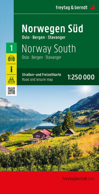
Straßen- und Freizeitkarte 1:250.000
Karte (gefalzt) (2023)
Freytag-Berndt und ARTARIA (Verlag)
12,90 €
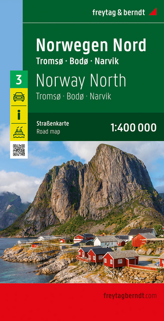
Narvik
Karte (gefalzt) (2023)
Freytag-Berndt und ARTARIA (Verlag)
12,90 €